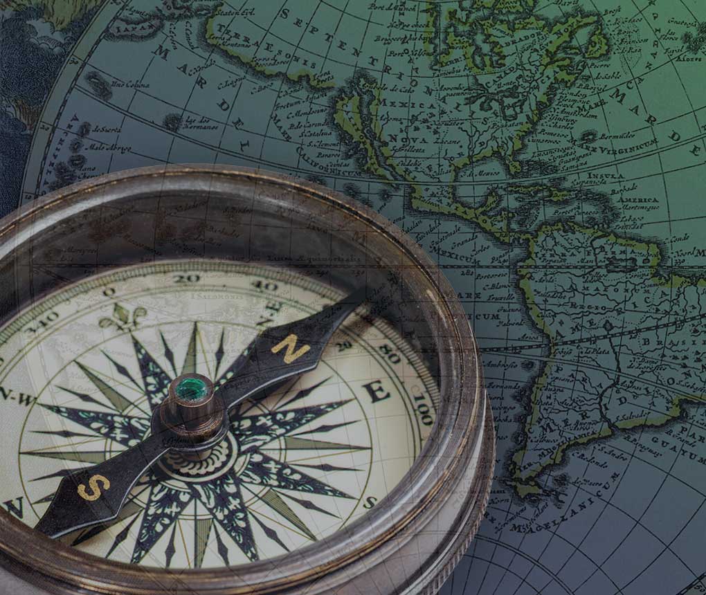
A curated selection of maps depicting various countries, regions, and cities of Europe produced between the 16th and 19th centuries. Included are maps of Italy and France by great Age of Exploration cartographers such as Joan Blaeu, Jan Janssonius, and and Gerardus Mercator, as well as later maps of the Netherlands by Joachim Ottens and his sons. The collection also includes some 1600 individual maps extracted from Victor Levasseur’s 19th-century magnum opus, the Atlas National Illustré des 86 Départements et des Possessions de la France, particularly notable for their engraved borders.
The speci�c maps listed here are constantly changing as we sell and acquire new material, so please check back often and contact us if you’re interested in a title you do not currently see on this page.
Maps and Cartography
About This Collection
A collection of books about cartography and maps, including antiquarian maps by pioneers of cartography including Willem Blaeu, Jan Janssonius, and Johann Homann.
Second Story Books, an ABAA/ILAB member, is Washington, DC’s oldest used and rare bookstore and is celebrating its 50th anniversary in 2024. Internationally known for its fine selection of antiquarian and out-of-print titles and collections, Second Story Books also provides appraisals for institutions and individuals.