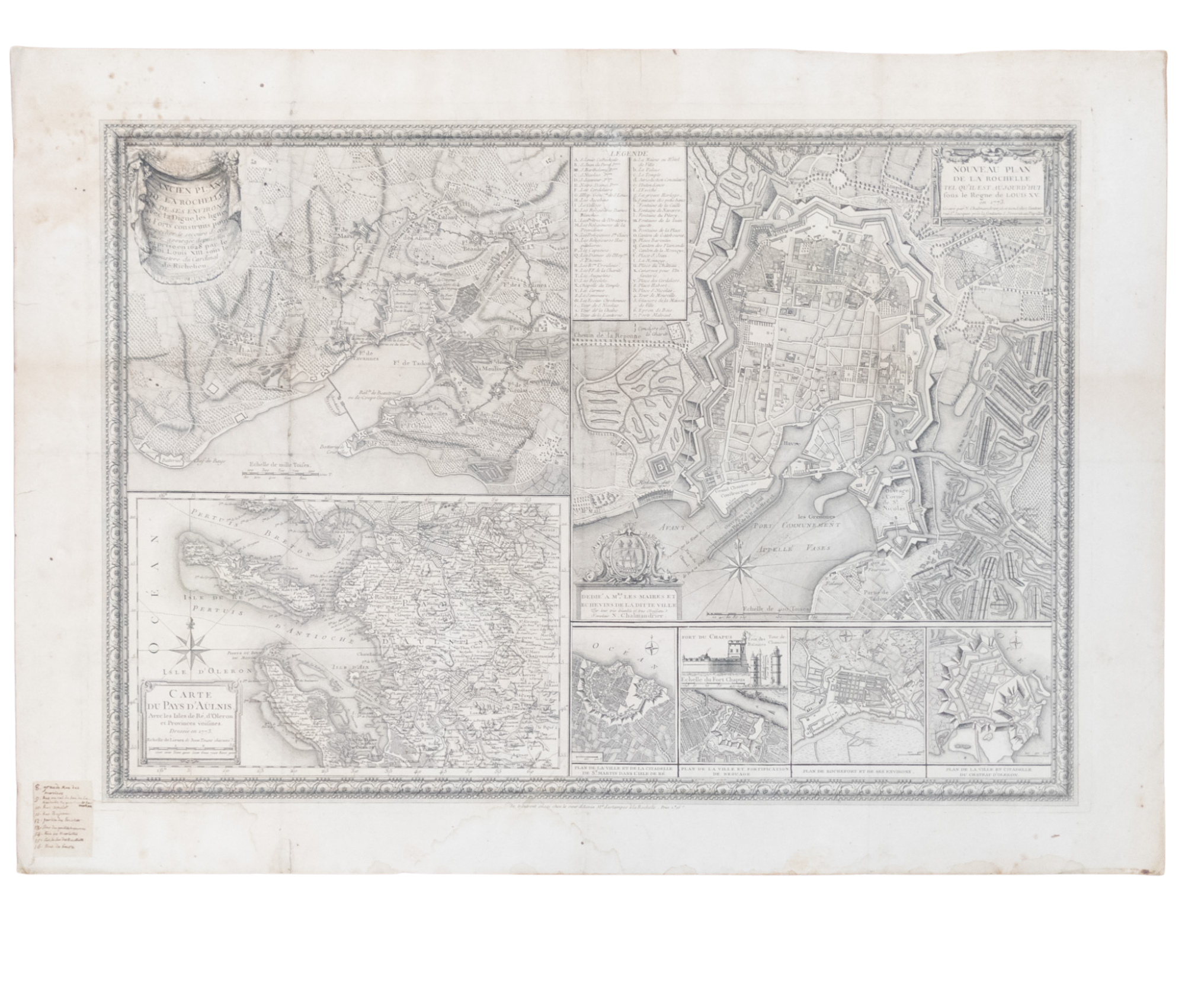
NOUVEAU PLAN DE LA ROCHELLE
NOUVEAU PLAN DE LA ROCHELLE
Publication Date: 1773
More Details
A composite image containing multiple maps of La Rochelle, a seaport town in western France, and plans of fortifications in the city. In Good condition, with age toning and spotting, along with water damage along the bottom edge. Not framed. w 32 in. x h 23 in.
Item:
1329352


