SEA CHART OF THE COAST OF DUNKIRK
SEA CHART OF THE COAST OF DUNKIRK
Place of Publication: Amsterdam
Publication Date: c.1640
More Details
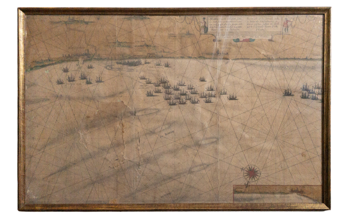
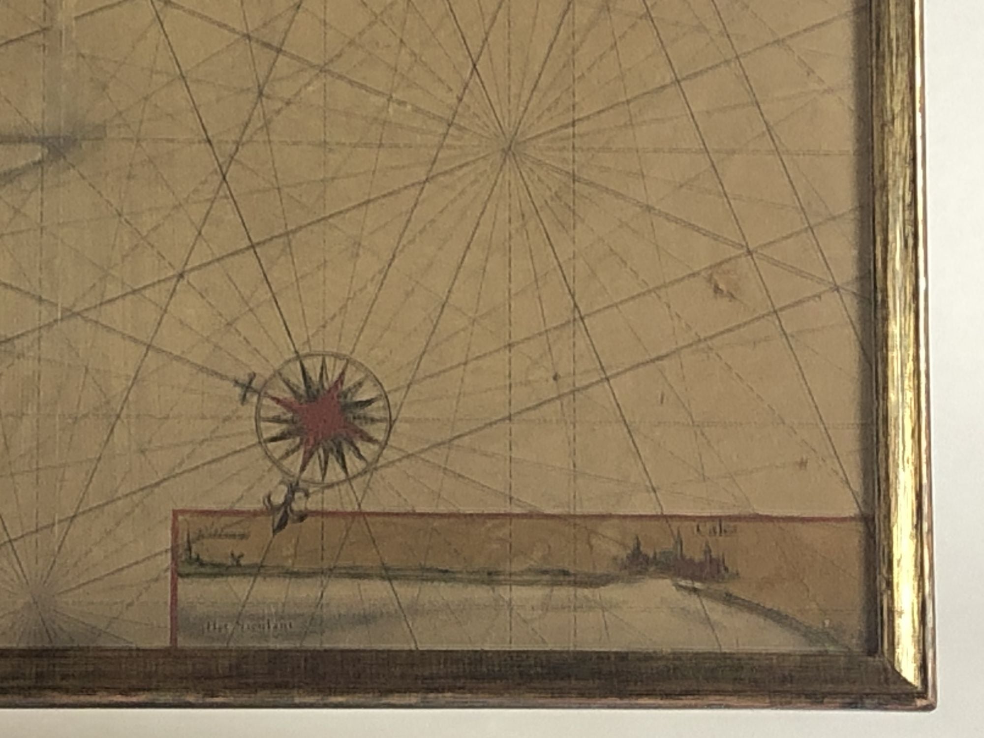
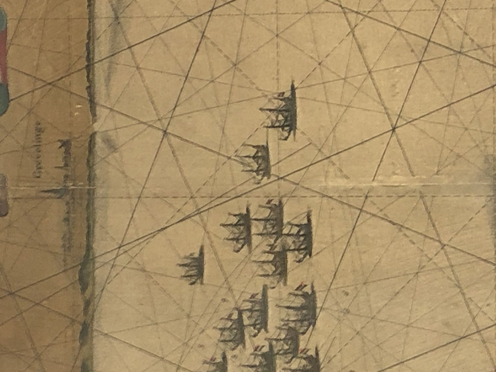
The map based on a previous chart prepared by Pieter Codde, a sea captain from Enkhuizen in Holland, shows the coast from Dunkirk to Gravelines and beyond with inset at lower right corner of Calais (partially disrupted due to framing).
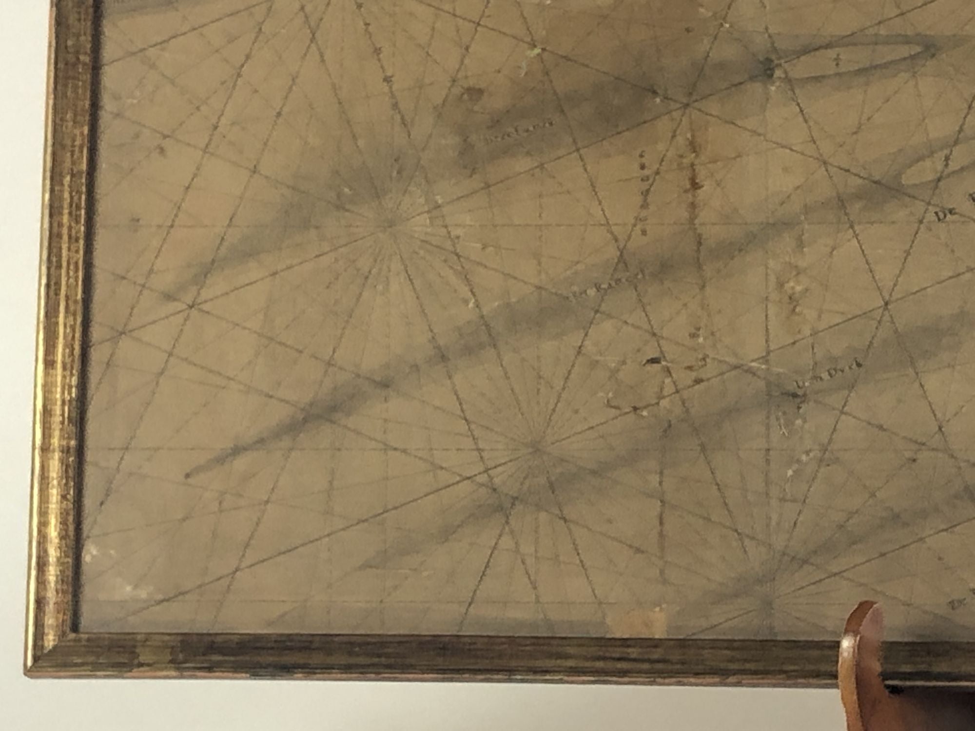
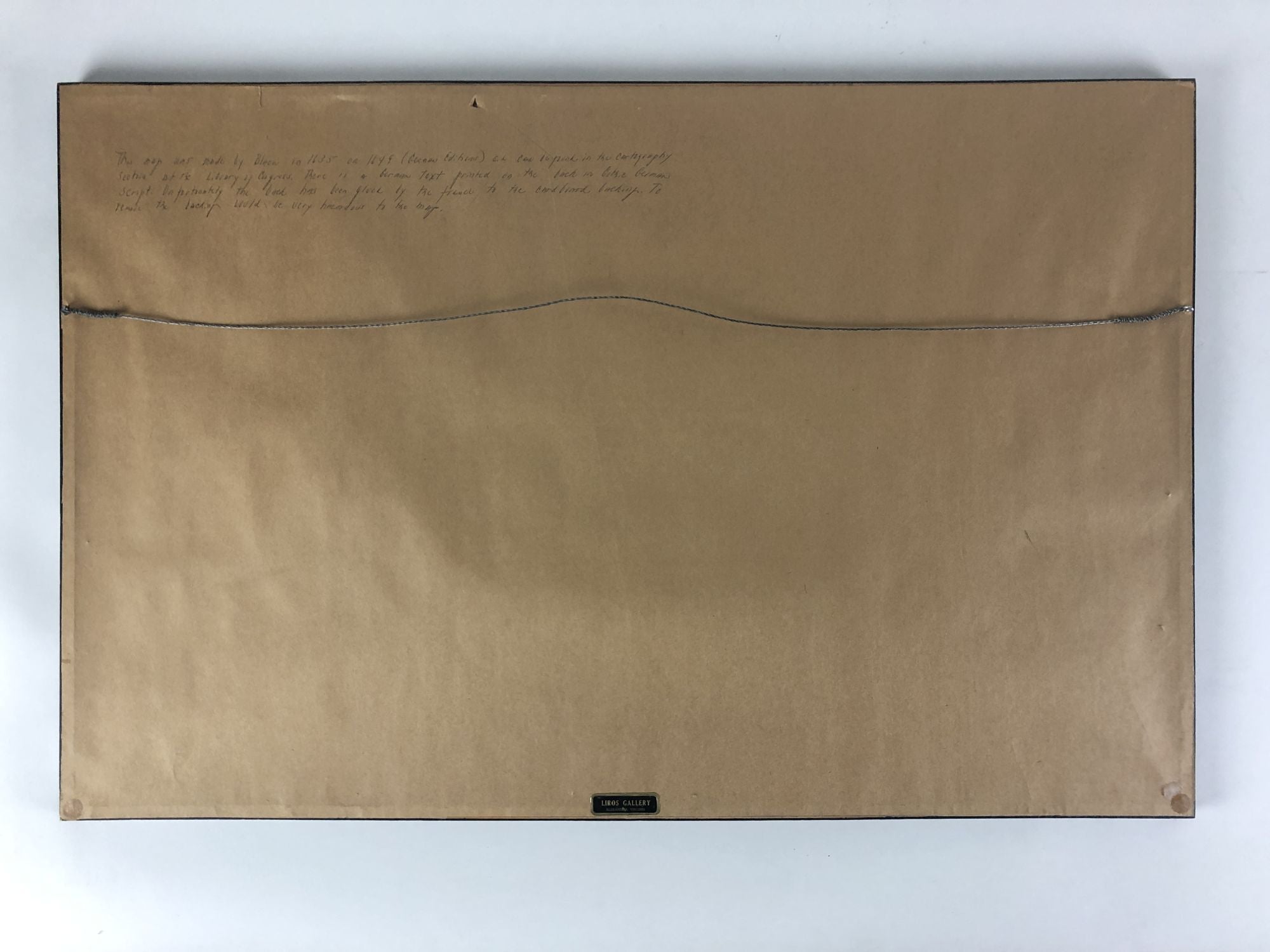
Antique map of the coast of Dunkirk from Willem Blaeu and his son, Joan Blaeu--the seventeenth century's most widely known cartographic publishers. Copper engraving printed on paper. Moderate age toning with a few partial tears (not examined out of frame). Frame measures 28 1/8 in x 18 1/8 and has a few scrapes. Map measures 27" x 17". LD Consignment.
Antique map of the coast of Dunkirk from Willem Blaeu and his son, Joan Blaeu--the seventeenth century's most widely known cartographic publishers. Copper engraving printed on paper. Moderate age toning with a few partial tears (not examined out of frame). Frame measures 28 1/8 in x 18 1/8 and has a few scrapes. Map measures 27" x 17". LD Consignment.
Item:
1367817


