TERRA SANCTA
TERRA SANCTA
Publication Date: 1598
More Details
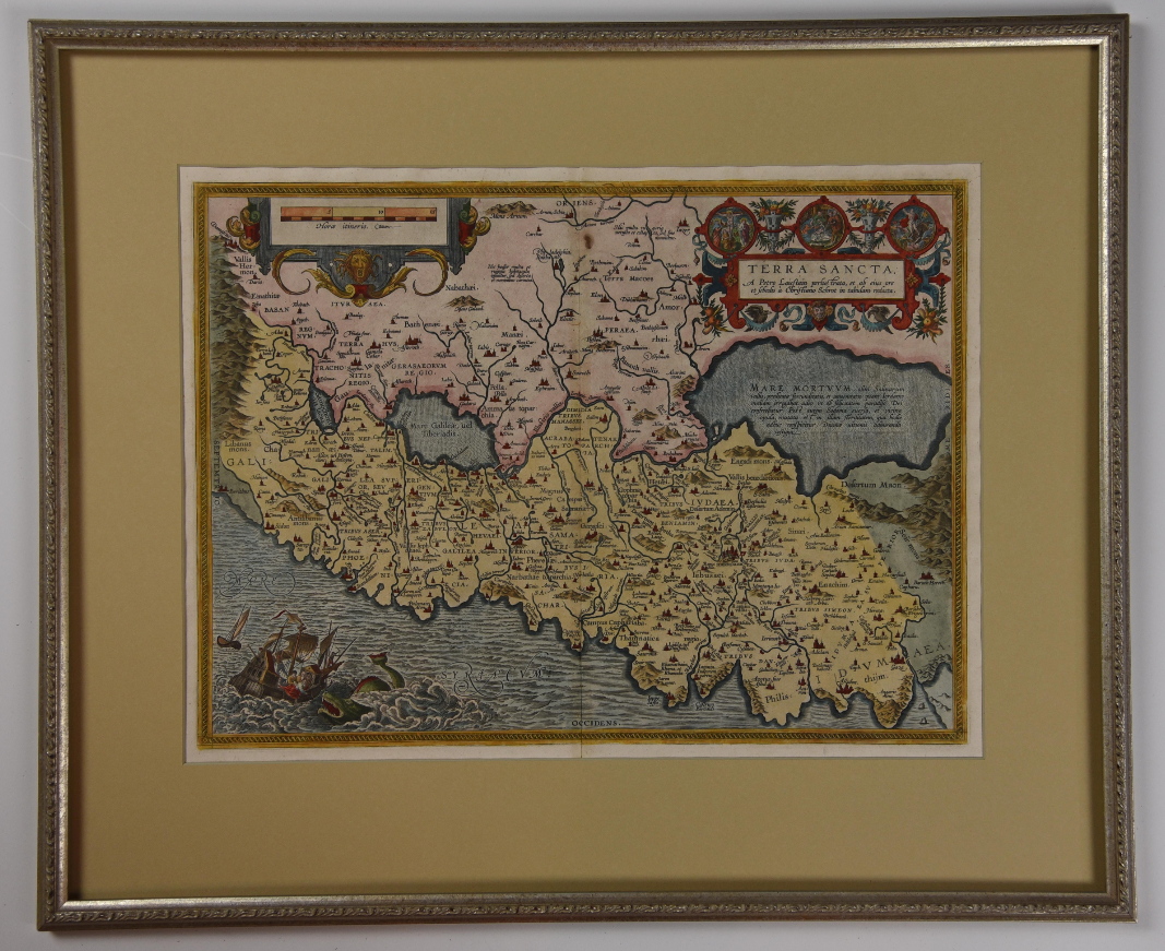
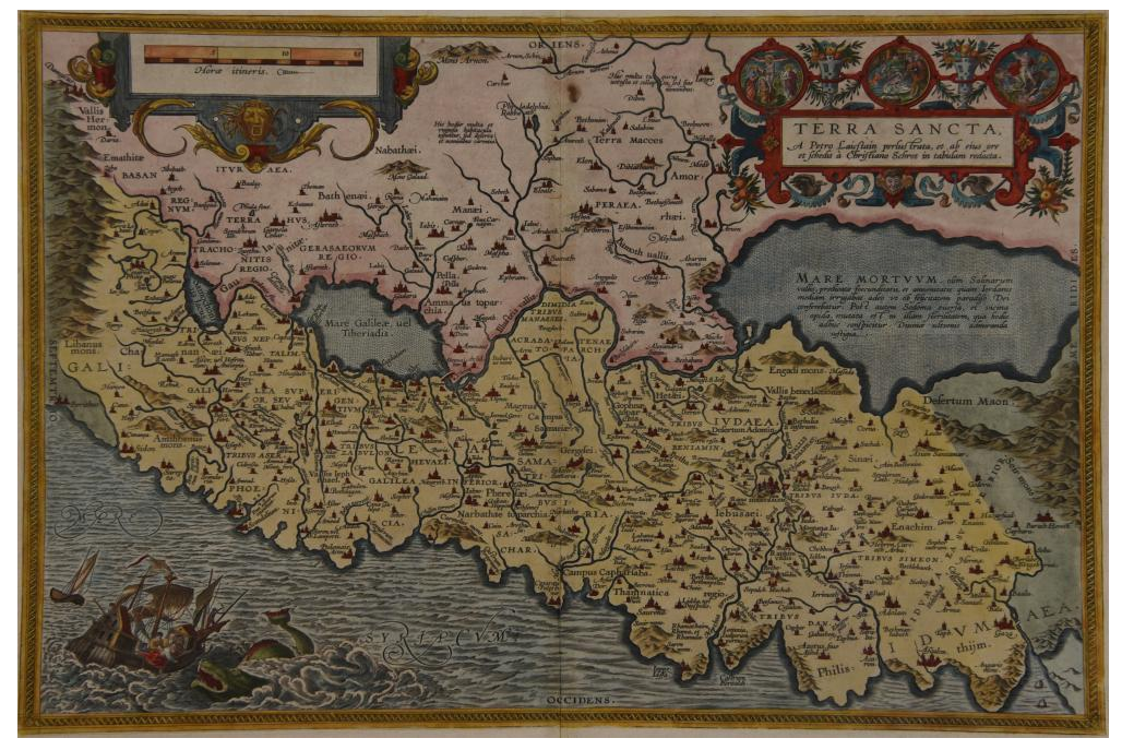
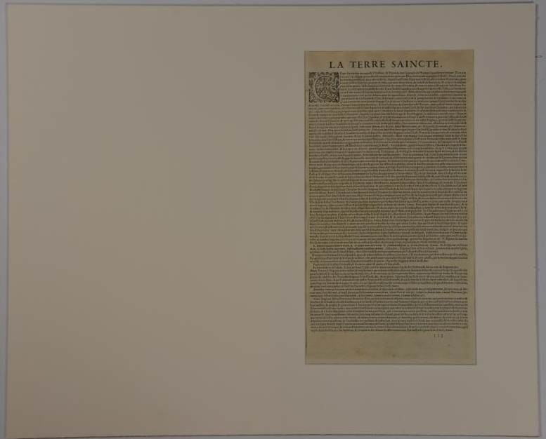
Based on material collected by the Dutch Astronomer Peter Laicksteen, who travelled to the Holy Land in 1556. Christian Sgrooten (here written “Schrot”), royal geographer to King Phillip II of Spain produced a nine-sheet map of Palestine in 1570 from Laikstain’s information. This map was condensed into the present form by Abraham Ortelius. Ortelius, the creator of the first modern atlas, collected and edited maps from all over Europe for his book. Many of the original mapmakers rose to fame solely through Ortelius’s decision to include their maps in his atlas. Laicksteen took thorough and accurate notes, and the original Laicksteen and Sgrooten map contained improvements over earlier maps. For instance, the River Kishon is here shown as flowing from the mountains near the Sea of Galilee, not, as was previously thought, from the Sea of Galilee itself. However, the Levantine coastline Sgrooten (and Ortelius) depicted is hardly recognizable to modern eyes. The map is replete with fanciful bays and peninsulas, though some of the most recognizable features of the coastline, such as the outcrops of land at Haifa and Beirut are absent. Ortelius had originally used another map of the Holy Land (by cartographer Tilleman Stella) in the early editions of the Theatrum Orbis Terrarum. It covered a far more extensive territory, including part of Egypt and Syria. Oddly, the coastline in this first map was much more accurate than in the Sgrooten map. Laicksteen and Sgrooten’s original map included a small inset with an extended geography. However, their mapping of the Dead Sea and surrounding areas was so controversial that Ortelius chose to leave out this region completely. The strange anecdote written in the Dead Sea is Ortelius’s own addition. It describes how the Dead Sea was once a fertile valley, but was transformed by an act of God into a barren sea to punish the wickedness of Sodom and Gomorrah. In the bottom left hand corner is a hand colored illustration of the story of Jonah. Above the luscious cartouche Ortelius has added three miniatures featuring the Crucifixion, the Nativity, and the Resurrection of Christ. The French text on the verso, a long-winded description with little relevance to the map, was changed to a more “reader-friendly” version shortly after the publication of this edition. 525 copies were made of this edition of Ortelius’s map.
A map of the Holy Land by Abraham Ortelius, dated 1598 (first issued in 1584 as a part of Theatrum Orbit Terrarium). In Very Good condition, with age toning and a central crease. Matted but not framed. w 26.5 in. x h 22 in.
A map of the Holy Land by Abraham Ortelius, dated 1598 (first issued in 1584 as a part of Theatrum Orbit Terrarium). In Very Good condition, with age toning and a central crease. Matted but not framed. w 26.5 in. x h 22 in.
Item:
1329345


