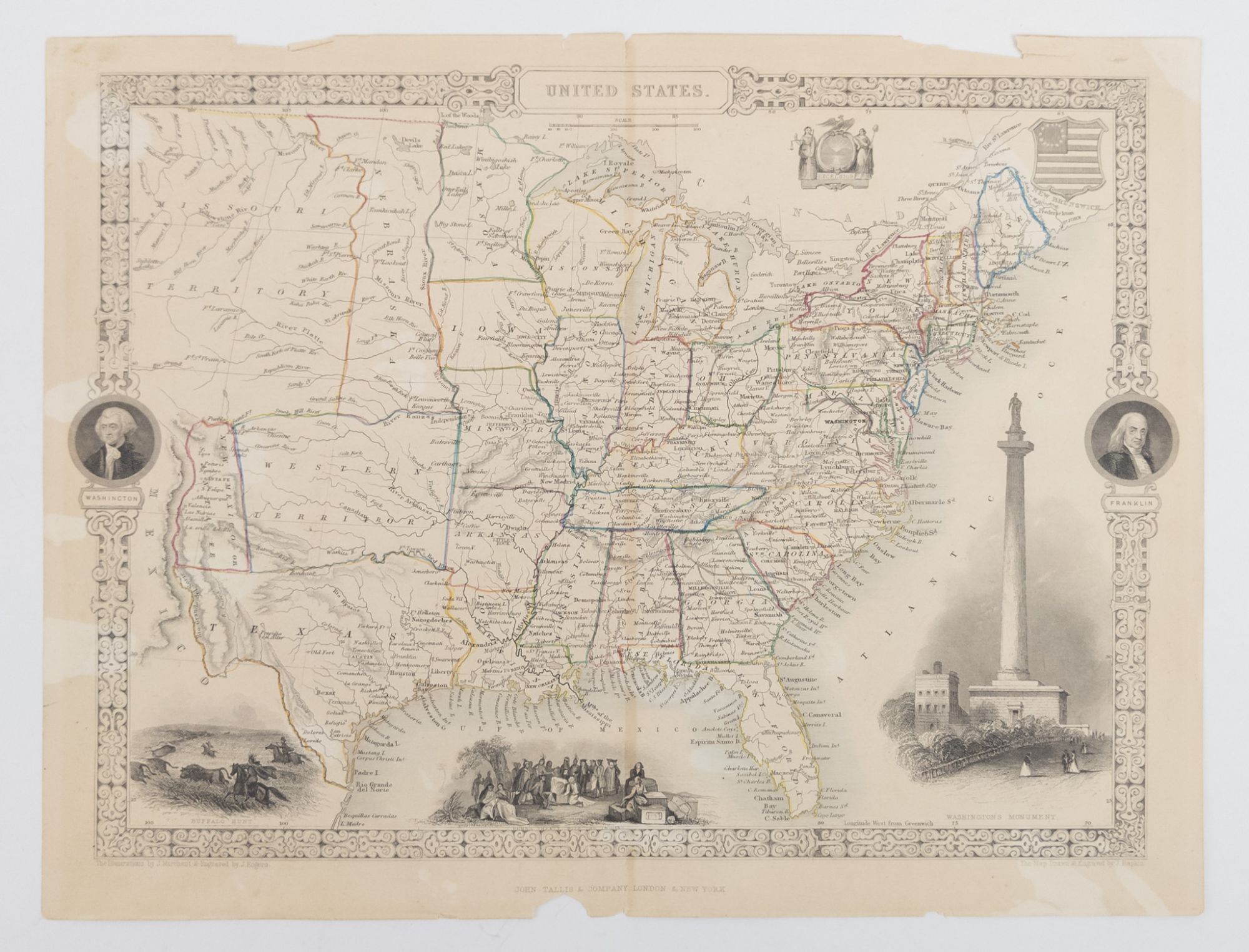
MAP OF UNITED STATES
MAP OF UNITED STATES
Place of Publication: London
Publisher: John Tallis & Company
Publication Date: 1851
More Details
Map of the United States drawn during a transitional period after the Mexican American War. Tallis' map has a few interesting lines, including a "Western Territory" (now Oklahoma and Northern Texas) and a long, narrow Nebraska territory extending all the way up to Canada. Map measures 14 in. x 10 1/2 in. In Good condition, with age toning and wear to edges with partial tears. Shelved in Room B, Upright Storage.
Item:
1374664


