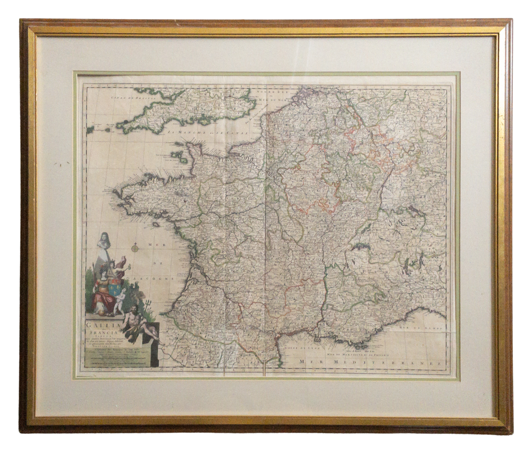
GALLIAE SEU FRANCIAE TABULA
GALLIAE SEU FRANCIAE TABULA
Edition: Galliae seu Franciae Tabula
Place of Publication: Amsterdam
Publisher: Visscher
Publication Date: n.d. [1680-1720]
More Details
A hand-colored copper engraved map of France published by Dutch cartographer Nicolaes Visscher. The map shows France as well as parts of England, Spain, Italy, Switzerland, and Germany. The bottom left corner features a spectacular cartouche with color engravings of Neptune, Mercury, and a female representation of France. The map has not been examined out of frame but appear to be in Very Good condition with slight toning and creasing from folding. The frame measures 38"x32.5" and the map itself measures 28.5"x23". Atlas Minor Sive Geographia Compendosia.
Item:
1374986


