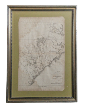
A MAP OF THOSE PARTS OF VIRGINIA, NORTH CAROLINA, SOUTH CAROLINA, & GEORGIA WHICH WERE THE SCENES OF THE MOST IMPORTANT OPERATIONS OF THE SOUTHERN ARMIES
A MAP OF THOSE PARTS OF VIRGINIA, NORTH CAROLINA, SOUTH CAROLINA, & GEORGIA WHICH WERE THE SCENES OF THE MOST IMPORTANT OPERATIONS OF THE SOUTHERN ARMIES
Place of Publication: Philadelphia
Publisher: C.P. Wayne
Publication Date: 1807
More Details
A map of Virginia, North Carolina, South Carolina, and Georgia during the Revolutionary War. The map is from the John Marshall's Atlas to Marshall's Life of Washington from 1807. The map is in good condition with mild uneven age toning, mild foxing, and light pencil annotations. The map is on a green paper background and in a metal frame. It has not been examined outside of frame. The map measures 14.5" x 10.5", the atlas page measures 17" x 10.5", and the frame measures 21.75" x 15.75". AT Consignment. Shelved Rockville upstairs.
Item:
1375255


